Fast by design
Rust NIFs for tile encoding, CQL2 filters and geoprocessing.

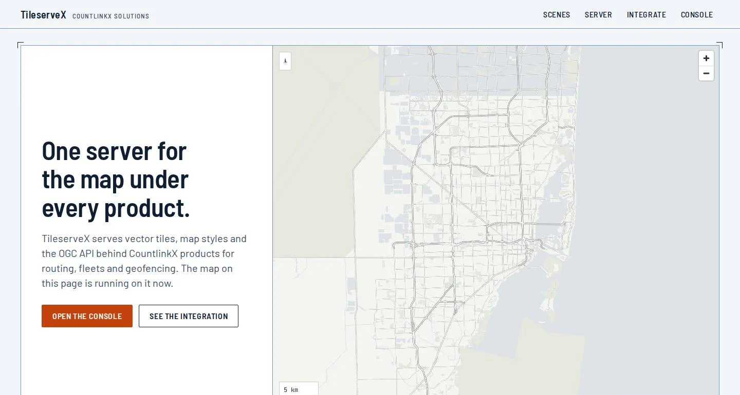
Vector tiles, base-map styles and the OGC APIs, from your own data, on your own infrastructure. It already draws the map under our own location products.
MVT straight from PostGIS tables and functions, plus PMTiles, MBTiles and composite sources.
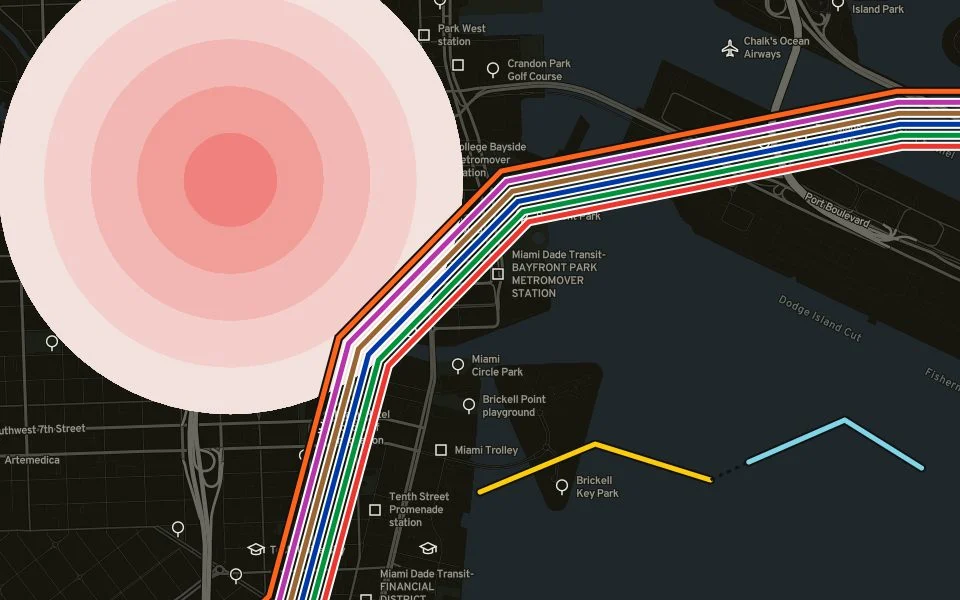
Eight designed styles that stay quiet under your data, with sprites and glyphs served alongside.
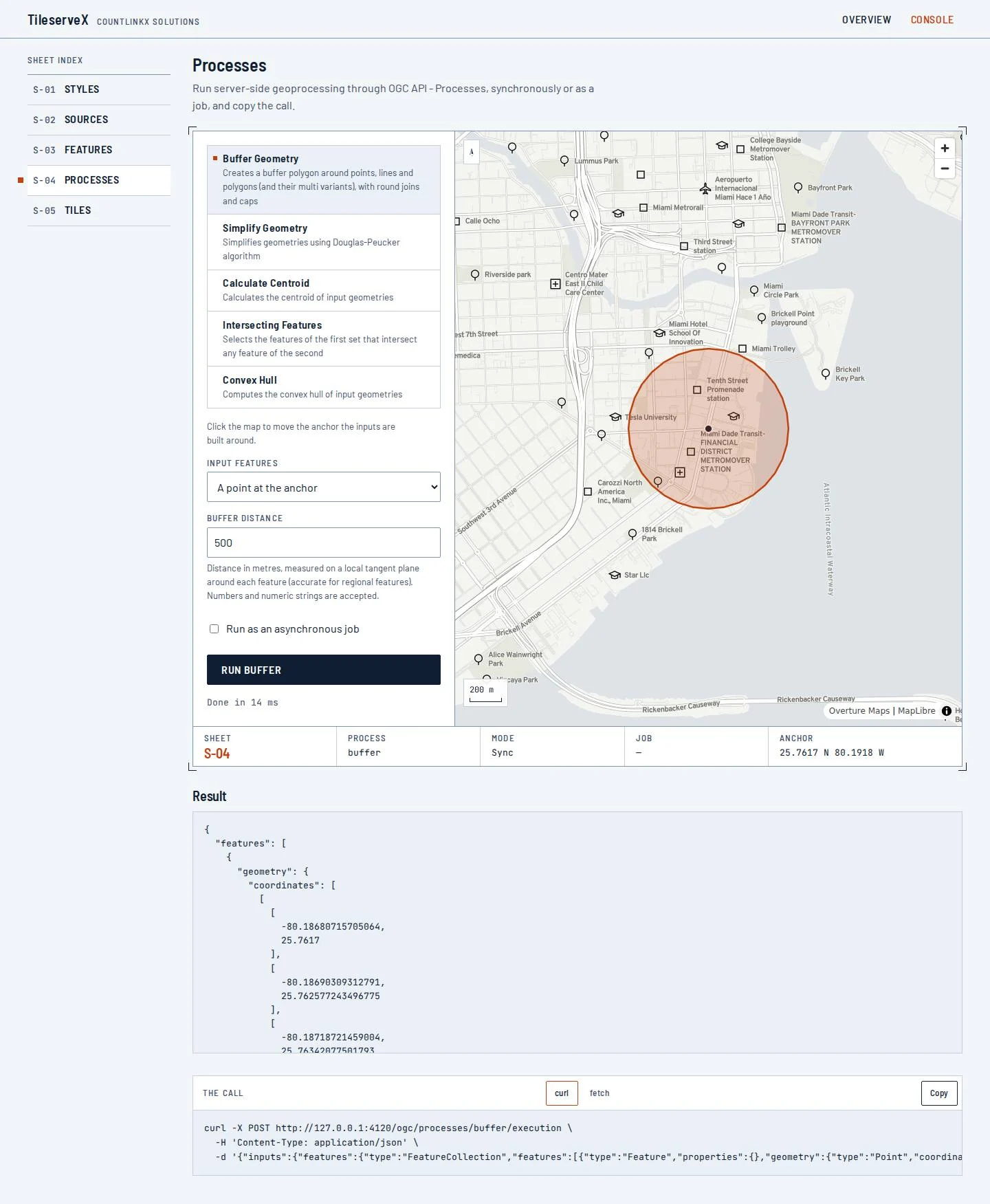
OGC API Tiles, Features and Processes and WMTS 1.0.0: sixteen conformance classes from one server.
Rust NIFs for tile encoding, CQL2 filters and geoprocessing.
gzip, ETags and an in-memory or Redis cache.
A health check, Prometheus metrics, API keys, rate limits and CORS.
When a database is down it answers 503 with Retry-After instead of hanging.
Your apps speak the standards they already know, and your data stays in your database.
We’ll show it to you working, using the product and its demo materials, and talk through your case.
Ask for a demo